UN warns El Niño likely to strengthen into a strong event by September
The UN weather agency says El Niño has developed and is likely to strengthen into a strong event between July and September. It warned the shift could increase the risk of drought, heavy rain and heatwaves across multiple regions.
ISLAMABAD: The United Nations weather and climate agency has warned that El Niño is expected to strengthen rapidly into a strong event between July and September, raising the risk of extreme weather in many parts of the world.
The World Meteorological Organisation said El Niño conditions have already developed in the tropical Pacific and are likely to intensify in the coming months. The phenomenon, which warms sea-surface temperatures in the central and eastern equatorial Pacific Ocean, affects winds, pressure systems and rainfall patterns globally. It usually occurs every two to seven years and generally lasts around nine to 12 months, with neutral conditions and its opposite phase, La Niña, alternating between events.
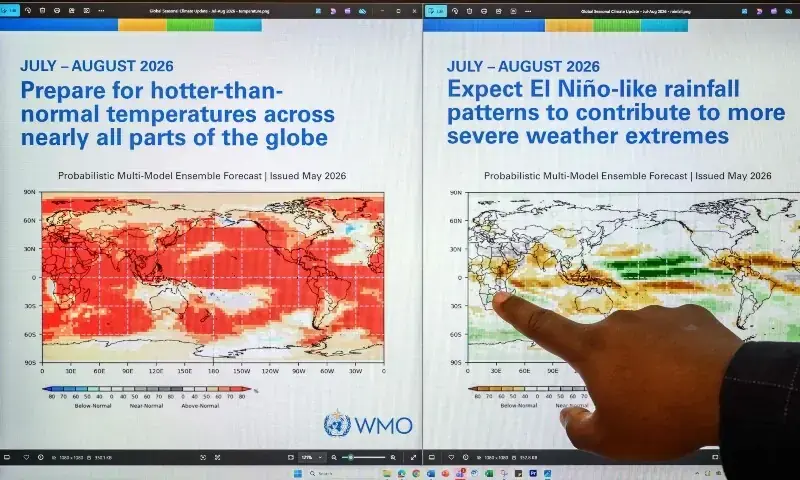
According to the WMO’s monthly Global Seasonal Climate Update, forecasts from leading climate centres indicate a quick move towards a strong El Niño during the July-September period. The agency classifies El Niño events as weak, moderate, strong or very strong, meaning the projected development would place it at the third level out of four.
In its update, the WMO said model forecasts showed a clear and consistent warming trend in ocean temperatures across the central and eastern equatorial Pacific. It said seasonal average sea-surface temperature anomalies are expected to rise above 2°C in key monitoring regions, adding that agreement among different forecasting models had provided high confidence in the outlook.
WMO Secretary-General Celeste Saulo said the strengthening event would heighten weather-related risks.
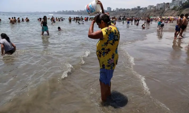
“El Niño conditions are already under way and are forecast to strengthen rapidly into a strong event,” said WMO chief Celeste Saulo. “This will intensify the chances of drought and heavy rainfall and the risk of heatwaves on land and marine heatwaves in many regions.”
The agency said El Niño is expected to continue gaining strength during the Northern Hemisphere autumn, extending its influence across many regions. It also said the equatorial Atlantic basin is forecast to remain generally warmer than average.
Temperature and rainfall outlook
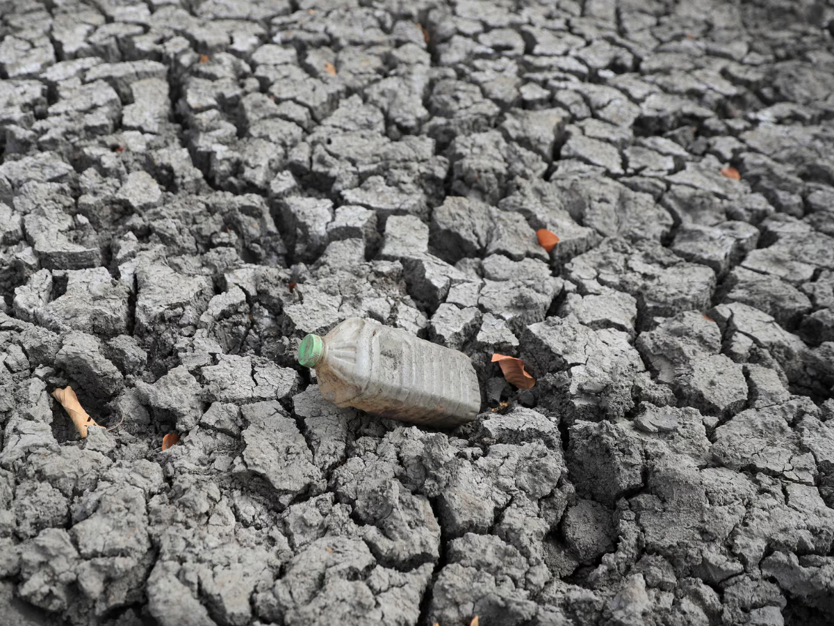
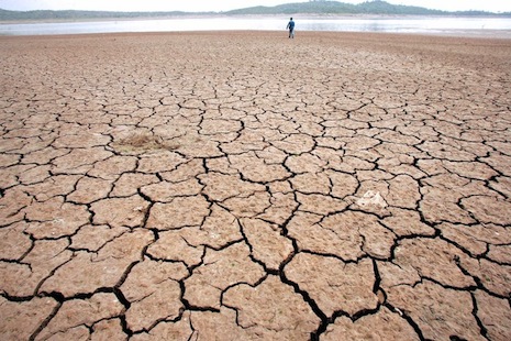
The WMO update points to a very high likelihood of above-normal temperatures over most land areas between 60 degrees south and 60 degrees north, covering nearly all populated regions outside the polar areas. For the July-September period, the rainfall outlook is also consistent with a strengthening El Niño pattern, with wetter-than-normal conditions forecast in some places, including parts of the southwestern United States, and drier-than-normal conditions expected across the Indian subcontinent and much of Australia.
The agency said the last El Niño helped make 2023 the second-hottest year on record, while 2024 became the hottest year recorded at about 1.55°C above the 1850-1900 pre-industrial average. Although El Niño typically reaches its peak between November and February, the corresponding rise in temperatures usually becomes more evident later.
The WMO said there was no evidence that climate change increases how often El Niño events occur or how intense they become. However, it said climate change can magnify their effects because a warmer ocean and atmosphere provide more energy and moisture for extreme weather, including heatwaves and heavy rainfall.
During the Northern Hemisphere summer, the agency added, warmer waters linked to El Niño can help fuel hurricanes in the central and eastern Pacific while suppressing their development in the Atlantic. The WMO said it is expanding early warning support to help countries prepare, especially in climate-sensitive sectors such as agriculture and health. “Advanced seasonal forecasts and early warnings are vital to save lives and cushion the impact on our economies and our communities,” said Saulo.
Comments
No comments yet. Be the first to join the discussion!