What scientists know so far about a possible 'super' El Nino
Scientists say a potentially strong El Nino is forming in the Pacific, but its eventual intensity remains uncertain. Forecasters say warming seas point to a major event, with some models suggesting it could become a 'super' El Nino.
ISLAMABAD: Scientists say a potentially powerful El Nino is developing quickly in the Pacific, but they caution that it is still too early to say with confidence whether it will become one of the strongest events on record.
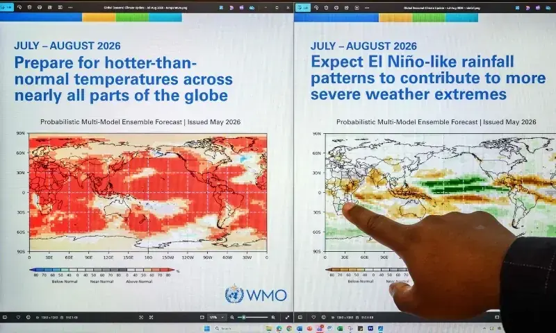
The US National Oceanic and Atmospheric Administration (NOAA) says there is about an 80 per cent chance that El Nino will develop by July. Sea surface temperatures in important parts of the equatorial Pacific are rising rapidly, while a large body of unusually warm water is also building below the surface.
Several major weather agencies are forecasting that Pacific sea temperatures could climb to 2.5 degrees Celsius or more above average later this year. Only three El Nino episodes — in 1982/83, 1997/98 and 2015/16 — have crossed 2 degrees Celsius since the first major modern-era event recorded in 1877/78.
Adam Scaife, head of long-range prediction at the UK Met Office, said the current event could become the strongest seen in decades or even challenge previous records. He told AFP:
There’s definitely something coming. We’re very confident about that, and it looks like it will be a big event
Why the forecast remains uncertain
NOAA has estimated a one-in-three chance that this El Nino could reach 2 degrees Celsius or higher, a level often described as a super El Nino. However, scientists say some of the most important atmospheric conditions that help determine the final strength of the event have not yet fully emerged.
Michelle L’Heureux, NOAA’s El Nino-Southern Oscillation lead, said El Nino typically intensifies when the ocean and atmosphere become more closely linked during the northern hemisphere summer, affecting air pressure, cloud formation and wind patterns.
One of the main signs associated with the strongest El Nino episodes is the weakening of trade winds that usually blow from east to west across the equator. But L’Heureux said those winds can behave unpredictably and may even strengthen instead.
She told AFP:
When that happens, it pauses the growth of El Nino or even reverses it
L’Heureux added:
Ultimately, the strength of this event will likely be influenced by these details, like the low-level winds, which we cannot predict many months in advance.
Possible global heat impact
El Nino usually reaches its peak around December, but the heat stored in the oceans can continue to influence global temperatures in the following years. Several record-hot years, including 1998, 2010, 2016, 2023 and 2024, either followed major El Nino events or occurred alongside them.
Climate scientists interviewed by AFP said global temperature records could be broken in 2026, though Scaife said 2027 may be especially important if an extreme event develops this year.
He said there:
could easily be a new record level of global warmth in 2027
Scientists also said it remains uncertain whether climate change is making El Nino itself stronger. The 2023/24 event was weaker than the major episodes of 1982/83 and 1997/98, making long-term trends difficult to establish.
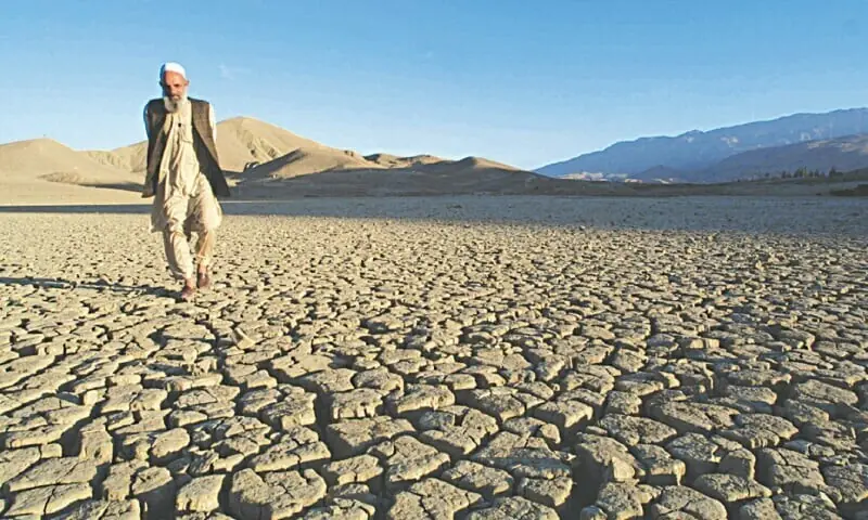
At the same time, researchers say even a less intense El Nino is now unfolding in a much warmer world, where added heat and moisture in the atmosphere and oceans may worsen its effects. Scaife said:
The impacts of this El Nino — on things like rainfall and of course temperature — are riding on top of climate change, and could well be larger than anything we’ve seen in the past
Changing patterns in a warmer climate
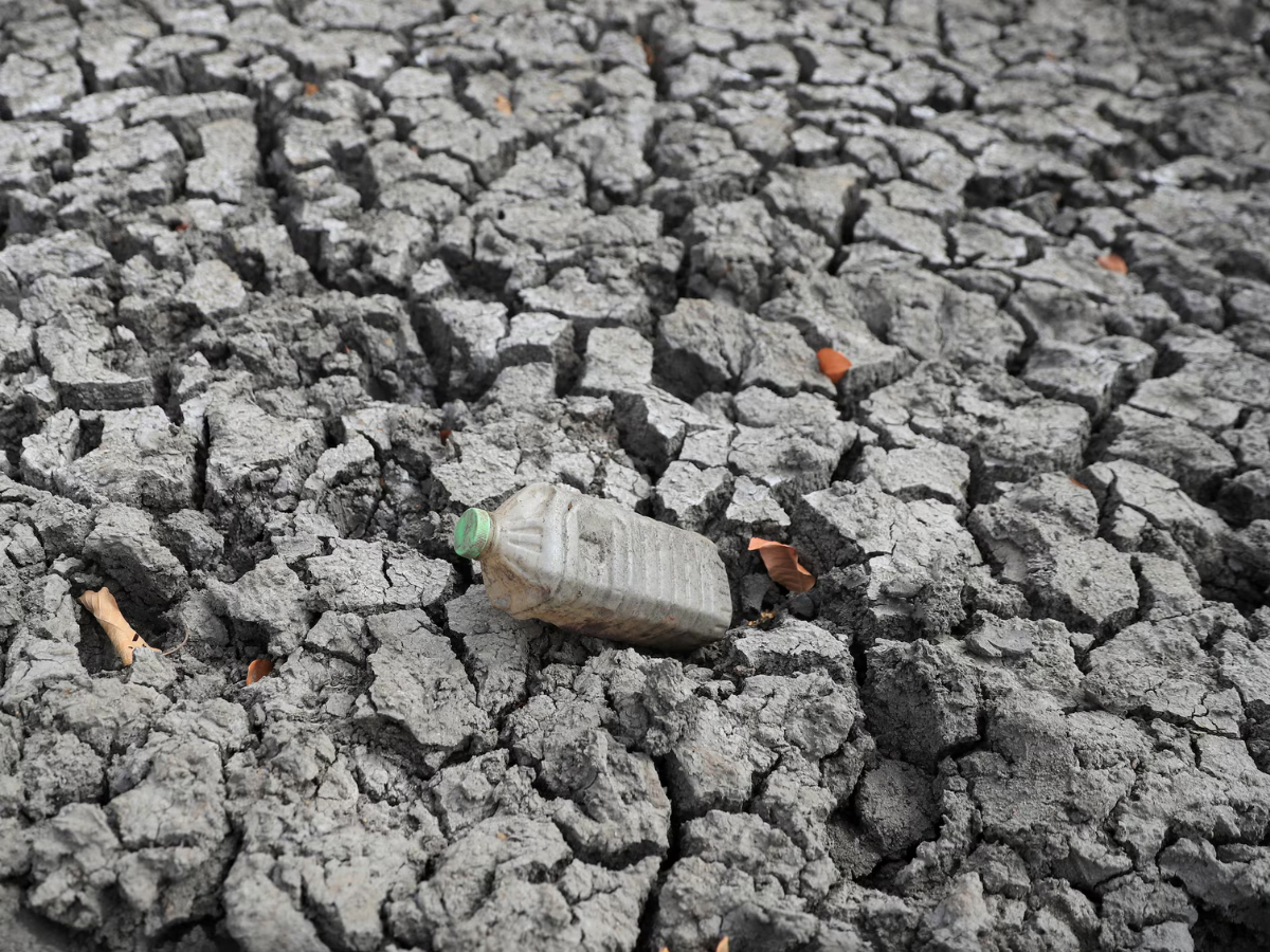
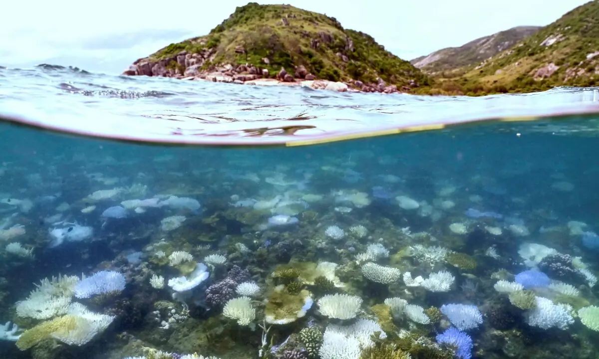
Major El Nino events have often been linked with drought in parts of the Amazon, Indonesia and Australia, disruptions to the Indian monsoon, and changes in rainfall across the tropics. But climatologist Felicity Gamble of Australia’s Bureau of Meteorology said climate change has altered the baseline so much that past events are now a less reliable guide.
She told AFP:
What happened during an El Nino event 20 years ago is probably quite different to how it might manifest these days.
Gamble also said climate-driven ocean warming has made forecasting more difficult by making El Nino conditions easier to trigger and La Nina conditions harder to distinguish against a warmer background. The Bureau of Meteorology and NOAA have begun adjusting for background warming to improve forecast accuracy, and other agencies are adopting similar methods.
Even so, Australia’s forecast suggests El Nino could reach 2.8 degrees Celsius, which could make it a history-making event.
Comments
No comments yet. Be the first to join the discussion!