March 9, 2026
AI-generated satellite images fuel disinformation amid US-Iran conflict
AI-generated satellite images, such as a recent fake showing a US base in Qatar, are fueling disinformation during the US-Iran conflict, raising concerns among researchers about the security implications of such technology.
March 9, 2026
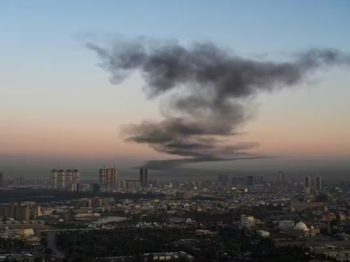
Washington: The spread of artificial intelligence-generated satellite imagery is raising concerns about the growing threat of disinformation during armed conflicts, according to recent research findings.
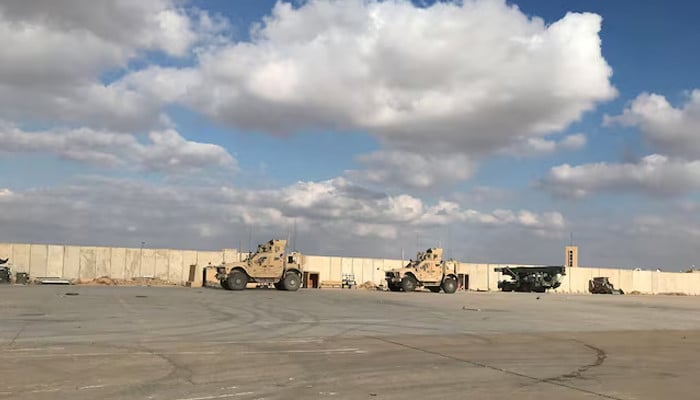
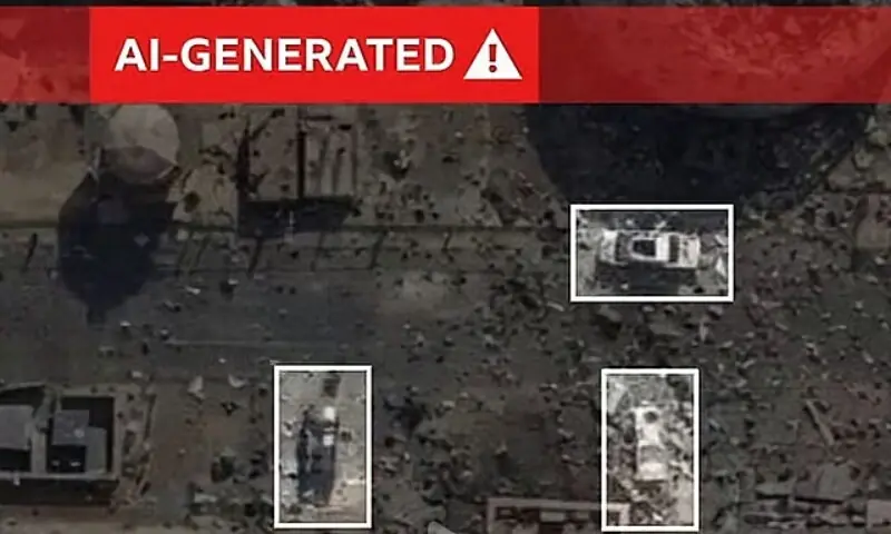
A recent example involved the Tehran Times, an English-language Iranian news outlet aligned with the state, which posted on X a pair of images it claimed depicted a US base in Qatar before and after an alleged attack. The post asserted that the “completely destroyed” US radar equipment was visible in the “after” image.
However, researchers have determined that the purported satellite image was not authentic. Instead, it was an AI-manipulated version of a Google Earth image from the previous year, originally showing a US base in Bahrain. Experts identified subtle discrepancies, such as a row of cars parked in exactly the same positions in both the genuine and altered images, as evidence of manipulation.
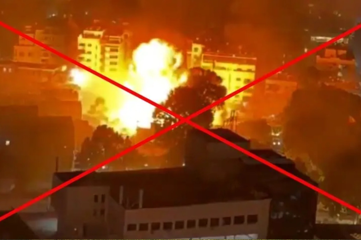
Despite these signs, the fabricated image rapidly gained traction on social media, amassing millions of views. This incident highlights how the rise of generative AI has accelerated the ability of state actors and propagandists to create convincing fake satellite imagery, particularly during major conflicts.
Researchers warn that such technological advancements in image fabrication could have significant real-world security consequences. The increasing prevalence of AI-generated disinformation poses new challenges for verifying information during wartime and could potentially influence public perception and decision-making.
0 Comments
No comments yet. Be the first to join the discussion!