

The Middle of Whose East? Why a Colonial Name Still Shapes Our World
“Middle East” isn’t a neutral geographic fact. British and American planners popularized it in 1902 to serve imperial priorities—shaping how we view borders, conflicts, and policies today.

A picture is worth a thousand words; or in this case, a map is worth a thousand words. Yet before we even examine the borders, conflicts, or cultures of the region, we have already accepted a story without question: its name.
The Middle East.
It is a phrase that is so deeply integrated into our vernacular that it feels like a fact of geography rather than a fact of history. But it is neither. It is a colonial label. One that positions the region not on its own geological or historical terms, but in relation to someone else's empire.
The term is not indigenous to the region. It emerged from the colonial chess game for the battle of glory, power and global conquest. British and later American planners in 1902 popularized this term to describe this region in relation to the British Empire. The east comes from the location of the region to London: East of London. Whereas the “middle” comes from defining this region in context of other colonies of the British Empire. British Imperialists denoted the Balkans and the Levant as “Near East,” China and Japan as “Far East” and then what lay in between them, extending from the Suez Canal to India, as “Middle East.” The name was less a description than a compass pointing outward from the imperial center to prized colonies like India.
Naming, like the border, is an act of power dressed up as description. Language is rarely neutral. Names and titles organize the way we imagine the world. They shape news, headlines, policy debates, classrooms, and even the questions researchers choose to ask. Calling this region "the Middle East" subtly frames it as a geopolitical crossroads rather than as a collection of societies with their own histories, cultures, and aspirations. The name emphasizes strategic location before human experience: people as coordinates on someone else's map.
In retrospect, the entire situation becomes quite funny: Colonial powers once called Canada "British North America." Yet no one today insists on using that name for the country, let alone the whole continent. Canada was allowed to become something other than what the colonizers named it. The Middle East wasn’t.
What's the difference? Canada's colonizers withdrew their administrators and armies, leaving the country to draw its own borders and choose its own name. The Middle East inherited the opposite: borders drawn by departing empires, governments installed and removed by outside powers, and a name that never stopped being useful to someone else.
So why does "Middle East" persist a century after the empires that coined it have gone? Maybe because Canada's independence cost those empires little, while the region's real independence would cost the powers still invested in its oil and its bases a great deal more. The name survives because someone still finds it useful.
The League of Nations legitimized the legality of the colonial map: its mandate system handed Iraq, Palestine, Syria, and Lebanon to British and French administrators under the polite fiction of "tutelage." The empires that drew those borders are gone. The borders, and the name for the region they carved, are not.The same pattern played out anywhere colonial negotiators drew lines through distant capitals, ignoring languages, tribes, and religious traditions and leaving behind unresolved conflicts we still fight today: Kashmir, Palestine, the Durand Line, the Kuril Islands. What colonialism left behind was a future of civil wars, secessionist movements, and deeply fractured nations. Refugees today cross boundaries created by decisions made generations before they were born; to understand contemporary migration, identity, and conflict, we must first understand that the map itself is a historical document.
I don't have to look at the Middle East to find a border drawn by a stranger. Cyril Radcliffe, the British lawyer handed the job of splitting my own country from India in 1947, had never set foot in South Asia before he landed in Delhi with five weeks to do it. He drew the line, went home, burned his papers, and never came back.
Of course, renaming the region will not by itself resolve conflict, displacement, or authoritarianism. But examining the language we use encourages us to examine the mental maps that accompany it. If we inherit colonial words unquestioningly, we may also inherit colonial ways of seeing. We might as well not be better than them.
The irony is striking. A region plagued by orientalism, often portrayed as ancient and unchanging has in fact constantly reinvented itself. Empires rose and fell long before European powers arrived. Cities flourished as centers of science, religion, philosophy, and commerce. Communities traded, migrated, and adapted across landscapes beyond our modern day political borders. Yet the language used to describe the region, undermines the accomplishments of the region and reflects a worldview shaped by colonial navigation charts.
As I write this, American and Iranian forces are trading strikes across the Strait of Hormuz; a passage that matters to outside powers because of what moves through it, not because of who lives around it. The name we gave this region a century ago has outlived the empires that coined it. The logic behind the name has not.
Some scholars have proposed alternatives such as "West Asia" or "Southwest Asia." These terms locate the region geographically rather than politically. They remove the assumption that Europe is the world's natural center: the sun that nations orbit. Changing vocabulary is not simply a matter of political correctness: it is an invitation to question inherited assumptions.
Perhaps the greatest lesson of our history lesson in colonialism is that geography does not simply describe power; it records it. So the next time we hear the words "Middle East," perhaps we should pause, not because the term is forbidden, but because it invites a deeper question. The most powerful borders are not always the ones drawn on maps. Sometimes, they are the ones drawn in language.
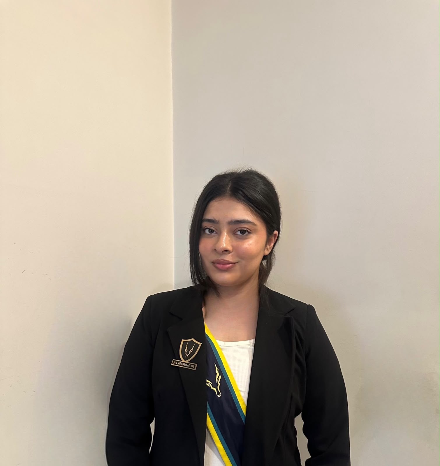
Fatima Mohammad Qayyum is an A-Level student at the International School Lahore, student researcher, and founder of The Global Tabloid, with a research focus on Middle Eastern and South Asian studies, human rights, and public policy.
View all articles →Comments
No comments yet. Be the first to join the discussion!


